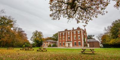
If you're planning on staying at YHA Chester Trafford Hall, why not download a free map and get out exploring?
All our self-guided walks start and end at a YHA hostel and are graded so that you can explore the area at your own pace.
Picton
A gentle walk taking in fields and country lanes
Easy route (PDF, 0.6MB)
4.4 miles, takes 1h 45m - 2h 45m
Stoak and Thornton-le-Moors
A walk through villages and nature parks.
Moderate route (PDF, 1MB)
6.9 miles, takes 2h 45m - 4h 45m
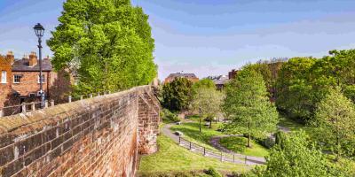
Shropshire Union Canal and Chester City Walls
Country lane, canal and historic city walk
Challenging route (PDF, 1.6MB)
17 miles, takes 6h 30m - 7h 30m
All our walking routes are tried and tested to help you explore this beautiful part of England. To assist with route selection and planning, you’ll also find a description of the hazards and facilities, accessibility information and points of interest on the maps


