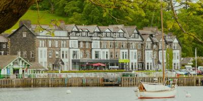
YHA Ambleside
-
Garden/grounds
-
WiFi
-
Free parking on premises

A lovely walk including a low level peak providing sweeping views of the surrounding fells, mountains and lakes, there's also a cave, a country estate and lots of outdoor gear shops and cafés.
Distance: 8.5 miles (13.6km)
Ascent: 477m (1,565ft)
Time: Allow 4h 30m to 7h
Rating: 49 (moderate) - Longer than easier walks, requiring a morning or afternoon, making it perfect for solo adventurers, families with energetic children, couples, walkers with dogs
Start/finish: YHA Ambleside
To help you get ready for your walk, we've produced some resources so you can develop your walking skills, decide what you need to take and stay safe while enjoying the outdoors.
Remember to research the route before you start your hike and bring a paper map with you to help navigate. Pack warm and waterproof layers, plenty of water, and be sure to wear sturdy walking boots.
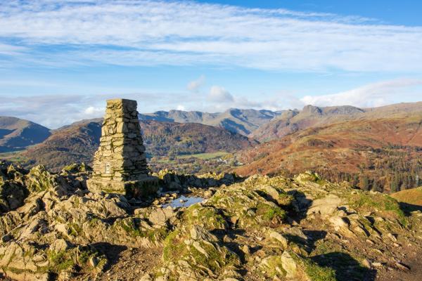
Loughrigg Fell is a summit in the Lake District National Park. It’s an excellent place to enjoy the picturesque views of the surrounding hills and lakes, including Windermere, Grasmere, and Rydal Water. The walk to the summit is made up of relatively easy trails with varied terrain, making for an interesting hike without any challenging climbs.
Yes, Loughrigg Fell is one of the 214 Wainwrights, or fells as they’re also known, in the Lake District.
If you’re thinking of starting to tick off the Wainwrights, then Loughrigg Fell makes for a fantastic introduction. The Wainwrights are named after Alfred Wainwright, a British fell-walker who described each of these peaks in his Pictorial Guide to the Lakeland Fells.
Wainwrights are all the summits of the fells, and each one is over 1,000ft tall (with the exception of Castle Crag). Loughrigg Fell is one of the smaller and gentler fells in this area.
There are several different routes to get to the summit of Loughrigg Fell, each varying in difficulty and length. The paths are well-maintained and clearly visible, making them easy to navigate. There are no challenging scrambles or climbs, so it’s a great walk for beginners.
Be aware of the weather conditions and take local advice when planning a walk in the Lake District. The weather can quickly turn, and what were easily-navigated paths can quickly become tricky when visibility is poor.
If you have little legs with you and you don’t want to do the whole route, there is a shorter walk to the summit. From Red Bank Road (near YHA Langdale), where there is lay-by parking, it’s just a 1.6-mile (2.6km) stroll to the top.
The summit of Loughrigg Fell is 1,099 feet (335 metres) above sea level. It is not the highest peak in the Lake District, but it has an isolated location with no other peaks nearby to block its truly panoramic views.
Sunrise and sunset are spectacular times to visit the summit of Loughrigg Fell. You’ll capture some stunning photos of the surroundings during golden hour and under the orange glow of the sun. Watching the sun rise or go down over the fells of the Lake District is a truly magical experience.
Don’t forget to bring a headtorch for when it gets dark.
You can start the walk to Loughrigg Fell right from the door of YHA Ambleside. You’ll need to walk into Ambleside town centre, which should take around 20 minutes, to start the route from Rothay Park.
The Youth Hostel is served by a bus route, and you can jump on board at the Waterhead Hotel stop.
Alternatively, you can drive into the town and find parking here. There are pay and display car parks at:

Garden/grounds
WiFi
Free parking on premises