YHA Malham
-
WiFi
-
Garden/grounds
-
Cycle store

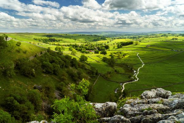
A classic route through limestone country with stunning features including Janet's Foss waterfall, Goredale Scar, Malham Tarn, the disappearing stream through sink holes, the limestone pavement above Malham Cove and the Cove wall from below.
Distance: 7.6 miles (12.2km)
Ascent: 279m (915ft)
Time: Allow 4h to 6h 30m
Rating: 49 (moderate) - Longer walks, requiring a morning or afternoon
Start/finish: YHA Malham
To help you get ready for your walk, we've produced some resources so you can develop your walking skills, decide what you need to take and stay safe while enjoying the outdoors.
Be the first to hear about new YHA walking activities, including special offers, mapped routes and our annual walking festival. View our Privacy Notice.

WiFi
Garden/grounds
Cycle store