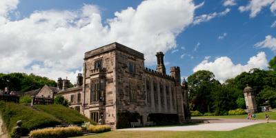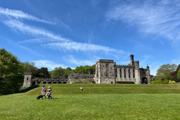
YHA Ilam Hall
-
Cycle store
-
Classroom(s)
-
Contactless payments

Tuesday 30th September 2025
Distance: 4 miles (6.4 km)
Duration: 3 hours
Led by: Catherine Hughes, British Nordic Walking National Trainer
Skills and confidence
Enjoy learning how to Nordic Walk using specially designed poles, supplied by the instructor for this walk. This 60-minute lesson will take place in the beautiful grounds of Ilam Park. You can learn about the fascinating history of Nordic Walking and the most recent research on the health benefits of this full body exercise.
After a comfort break, we will head to Dovedale for a Nordic Walk to the famous stepping stones, then will return via the same route. Total distance 2.9 miles. There may be cattle grazing in one of the fields and there are some short hills and steps to walk up and down.
Please wear clothing and footwear suitable for a walk in the Peak District. If you would like to carry items in a bag, a rucksack or bumbag is better than a handbag.
Book your place:
Email [email protected] or text 07940575758 with your name, mobile number and height (in feet and inches or cm).
This is in partnership with YHA's Festival of Walking - view other social walks. Need accommodation? Save 20% on selected hostel stays during the festival.
Tuesday 30th September 2025
Start: 10:30am
Starting point: YHA Ilam Hall
National Trust pay and display car park (cash only)
It’s free to sign up for this event. We’re encouraging participants to make a voluntary donation to support our Breaks Programme, helping groups of young people and families facing challenging circumstances to access life-changing adventures in our hostels.

Cycle store
Classroom(s)
Contactless payments