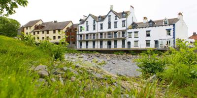
YHA Keswick
-
WiFi
-
Waterfront
-
Self-catering kitchen

Saturday 4th October 2025
Distance: 5.5 miles (8.8 km)
Duration: 5 hours
Led by: Harriet MacMillan, Navigation with Harriet
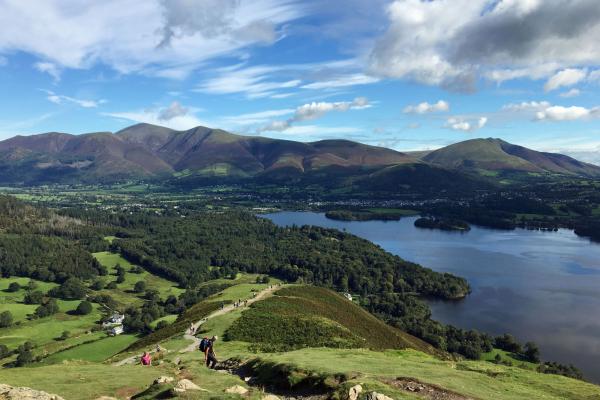
Explore the northern Lake District and learn the basics of navigation and map reading at the same time. We'll be heading up to the wonderful viewpoint of Latrigg above Keswick that gives great views of Derwentwater and the surrounding fells. As well as learning new skills, it will help you gain confidence and know-how so you can plan your own walks.
All welcome, but children and dogs must be accompanied by a responsible adult. Involves approx. 300m of ascent and descent.
Spare maps and compasses will be available to borrow on the walk.
This event is fully booked.
This is in partnership with YHA's Festival of Walking - view other social walks. Need accommodation? Save 20% on selected hostel stays during the festival.
Saturday 4th October 2025
Start: 09.30am
Starting point: YHA Keswick
It’s free to sign up for this event. We’re encouraging participants to make a voluntary donation to support our Breaks Programme, helping groups of young people and families facing challenging circumstances to access life-changing adventures in our hostels.

WiFi
Waterfront
Self-catering kitchen