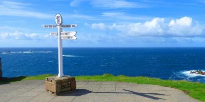
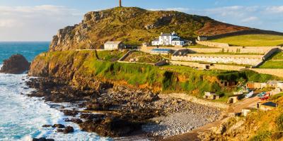
Run from Penzance to Land's End. This tough but rewarding coastal run offers plenty of scenery and history. It can be run in sections or, for those up for a challenge, in its entirety. Steep steps and narrow paths make for exciting, technical running.
Leave Penzance by the coast road to the west, through Newlyn and Mousehole, before following the South West Coast Path sign left out onto the rugged coast path. Continue along an undulating mixture of trail and granite steps to Lamorna. The secluded cove and café provide a welcome spot for a rest, surrounded by bluebell woods in spring.
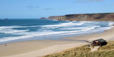
Climb steep steps to the cliff top, passing Treen's white sandy beaches and the Minack Theatre. In the final miles, grasslands make for easier running as Land’s End beckons.
Download YHA's wild running guide (PDF, 3.2MB)
