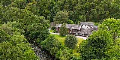
YHA Borrowdale
-
WiFi
-
Meeting room(s)
-
Free parking on premises

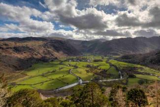
Castle Crag is a hill in the Lake District National Park. It is situated in the north-western fells and is one of the smallest Wainwrights in the Lakes. From the summit of Castle Crag, you’ll get some spectacular views over the surrounding mountain scenery.
There are numerous hiking routes to the top, ranging in difficulty, and making for a fantastic day in the great outdoors for adventurous couples, solo walkers, or families with active children looking to burn some energy.
Castle Crag is 950ft (290m) high. It is the only hill included in Alfred Wainwright’s Pictorial Guide to the Lakeland Fells that is below 1,000ft (305m), making it an official Wainwright – but only just!
There are 214 Wainwrights in the Lake District, and they are also known as fells. Many people challenge themselves to tick off all the Wainwrights, and if you fancy doing the same, then Castle Crag, as the smallest Wainwright, is a great place to start.
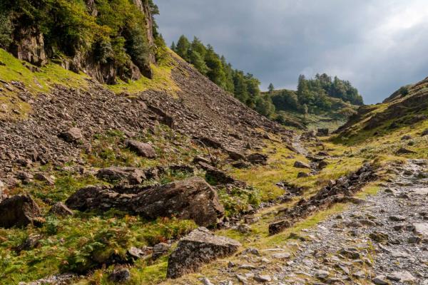
The route is steep, and there are a lot of steps on the way to the top. Paths are well-maintained and waymarked to help you find your way. There’s some slate scree, so be sure to watch your footing on these sections.
Be aware of the weather conditions and take local advice when planning a walk in the Lake District. The weather can quickly turn, and what were once easily navigated paths can quickly become challenging when visibility is poor.
If you’d prefer to do a shorter route than this one, there is a shorter route of around 2.8 miles (4.5km starting from the village of Rosthwaite near YHA Borrowdale. However, this is a steeper route to the top.
Yes, there is a trig point at the top of Castle Crag. Trig pillars or triangulation points were used by Ordnance Survey to map out the shape of Great Britain in the 1930s.
There is also a war memorial at the top. Castle Crag was given to the National Trust by the family of 2nd Lieutenant John Hamer, who was killed during the First World War. The memorial is dedicated to him and other soldiers from Borrowdale. Their names are etched into the stone here.

Distance: 5 miles (8km)
Time: 3-4 hours
Starting point: National Trust Seatoller car park
This is a summary of the walk and not a complete guide. Don’t forget to thoroughly research the route before you start your hike, and bring a paper map with you to help navigate. Pack warm and waterproof layers, plenty of water, and be sure to wear sturdy walking boots.
Route from: National Trust
The Castle Crag walk detailed above starts and ends at YHA Borrowdale.
If you’d like to do a shorter route, you could start the walk from Rosthwaite. This is around 0.6 miles (1 kilometre) away and is about a 13-minute walk from the hostel. The route is also served by the 77 and 78 Borrowdale Bus, or it is just a three-minute drive by car.
There is a pay and display car park here, which is free for National Trust members.

WiFi
Meeting room(s)
Free parking on premises